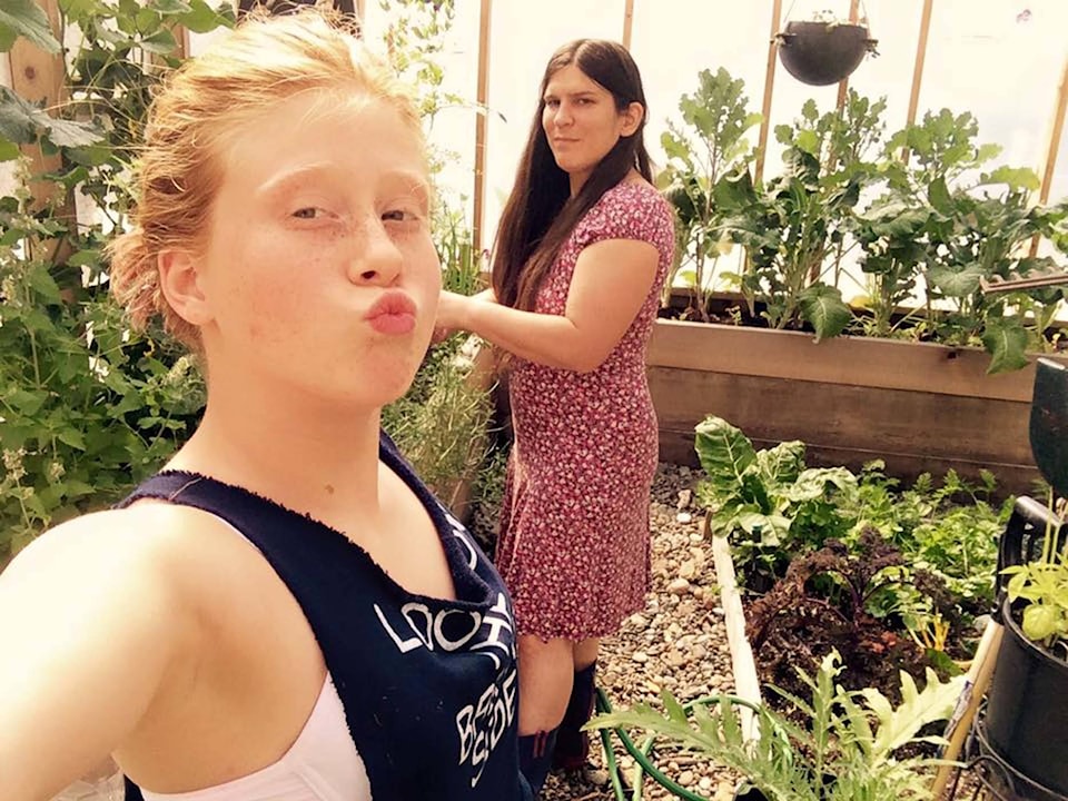
Sian Nalleweg and her daughter Megan Ives plunged straight away into the Fukushima InFORM project.
Started in the wake of the 2011 earthquake and tsunami that destroyed Japan’s Fukushima Daiichi nuclear power plant, Fukushima InFORM is a network of Canadian scientists, NGOs, and citizen scientists who are all tracking the radiological risk to the West Coast.
Sian said she and 14-year-old Megan joined soon after reading a call-out for citizen scientists emailed by the David Suzuki Foundation.
“I was like, ‘Yeah — we’ve got time, we live in this beautiful place, we can do it.’”
Every month since November 2014, Sian and Megan have slipped into gumboots, trudged with a heavy tote full of equipment to Grassy Island near Sandspit, and gathered water samples that they mail to a lab at the University of Victoria.
On Sept. 10, the mother-daughter team shot a short video about their three-year effort and entered it, along with 16,000 others, for CTV’s Canada in a Day film.
Theirs was one of just 300 clips to make the final cut. Haida Gwaiians can watch it on CTV on July 1 and July 2.
Sian said Fukushima InForm is still on the lookout for Cesium-134 — the signature isotope of the Fukushima disaster.
“It is in the water, but less than a dental X-ray,” she said.
So far, the highest sea-surface concentrations of radiation from Fukushima and the remains of nuclear-weapons testing have measured at 8.3 Becquerels per cubic metre. That’s more than 1,000 times less than the 10,000 Bq m-3 Health Canada considers a risk to human health.
While the project hasn’t raised any major alarms, it is shedding light on how waters flow across the Pacific, and around Haida Gwaii in particular.
When Sian and Megan first signed up, Fukushima InFORM was supposed to last three years.
It was recently extended another two, largely because the radioactive plume from Fukushima has taken far longer to cross the Pacific than expected.
According to a June update from Fukushima InFORM scientist Dr. Jonathan Kellogg, the most concentrated part of the plume is still nearing the coast and Haida Gwaii.
While it first travelled at “about the speed of a determined tortoise” (5 to 7 km per day), the plume slowed to a snail’s place (0.8 km a day) when it reached the North Pacific Bifurcation zone — an area of ocean southwest of Vancouver Island where the westward North Pacific current divides and flows up and down the coast.
Dr. Kellogg recently noticed that in summer, water samples taken by volunteer Kurt Evans in Masset and by Sian and Megan in Sandspit actually vary quite a bit from the samples at the other North Coast stations in Hartley Bay, Prince Rupert, and Lax Kw’alaams.
Kellogg said it’s not well understood how water flows in parts of Hecate Strait, though it is well known that the overall flow reverses from winter and summer due to a shift in prevailing winds.
Kellogg and the team at UVic will now do tests to see whether the water flow between Masset and Sandspit somehow bypasses the majority flow in eastern Hecate Strait, or whether the sampling difference results from a summer wash of cesium-free freshwater pushed to Haida Gwaii by the Nass and Skeena Rivers.
Whatever else the team finds, Sian said she and Megan are thrilled to be part of the project, and that their Haida Gwaii story is now being shared across Canada.
“I feel spiritually connected to Haida Gwaii,” said Sian.
“Maybe it’s in my blood to give back. I hope the ancestors like it.”