What’s shaking on the fault line west of Haida Gwaii?
A new seismometer planned for a former road quarry south of Ian Lake should give researchers a clearer picture.
Installed on bedrock, the seismometer would replace another “noisier” one near Masset that basically sits on gravel and sand — a poor place to get a clear signal from low-level earthquakes.
Taimi Mulder, an earthquake seismologist with the Geological Survey of Canada, says in a big windstorm, smaller earthquakes become “almost completely unreadable” from the Masset station, one of nine sites across Haida Gwaii.
The same goes for heavy surf.
“High winds and surf introduce a lot of background vibrations into the ground,” said Mulder, adding that they can get “trapped” in soft sediment, bouncing back and forth and making it difficult to read seismic waves from earthquake activity.
“They’ll propagate through rock as well, but with the hard bedrock you tend to get a much cleaner and quieter signal.”
If it goes ahead as planned, the new seismometer will be installed this summer, along with a three-metre tower that has solar panels and radio gear.
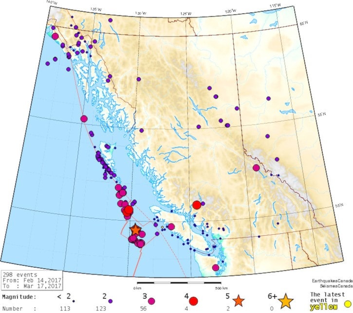
Haida Gwaii is a key place to monitor earthquakes.
Off the west coast, two huge tectonic plates are slowly grinding past each other — the Pacific Plate slides northwest, while the North American Plate slips southeast.
Sometimes, the plates’ jagged edges catch each other.
When they come unstuck, like they did west of Moresby Island in October 2012, the result is hopefully nothing worse than a hotsprings stoppage in Gwaii Haanas and T-shirts that say, “I survived the 7.8-quake on Haida Gwaii.”
The largest recorded earthquake in Canada, a magnitude 8.1 quake in 1949, also struck the fault west of Haida Gwaii, which continues north to Alaska and south to Vancouver Island.
But while the islands are a priority spot for monitoring earthquakes, they are challenging, too.
First, as islanders well know, it can be hard to get a good data connection given the mountains and weather here. Using satellite, cellphone tower, land lines and/or line-of-sight radio connections, the Haida Gwaii seismic stations send real-time data to the Pacific Geosciences Centre in Sidney, B.C.
Another problem, particularly on the northeast part of Graham Island, is that there is very little bedrock.
But the biggest issue is trying to find accessible bedrock sites on the east side of Haida Gwaii, particularly along the narrower southern parts of Moresby and surrounding islands.
“We really need two or three sites that are basically on the east side of the islands to get us really good depth control,” Mulder said.
At the moment, all but one of the nine stations basically run in a straight line that parallels the fault — if a few were further east, the added distance would allow Mulder and her colleagues to get more accurate readings for earthquakes on the plate boundary.
Shortly after the 2012 earthquake, the Geological Survey installed a seismic station on Hotsprings Island, Naa K’uuingas, to provide data on the aftershocks. The station was removed in September 2014.
“If there was interest in that going back in again, we’d be happy to discuss that,” said Mulder, noting that a field survey after the 2012 quake showed there are very few sites that meet the criteria as well as Hotsprings did.
“I look at the data a lot, and it was a beautiful site for doing the earthquake locations.”

A view of Hotspring Island/Gandll K'in Gwaay.yaay (Parks Canada/D. Cheadle photo)