Forestry companies will need to map their plans in more detail if one of several changes to the Haida Gwaii land-use order goes ahead.
The change would require companies to submit a digital map every year that shows their plans to the level of cut blocks, forestry roads, reserve and management zones.
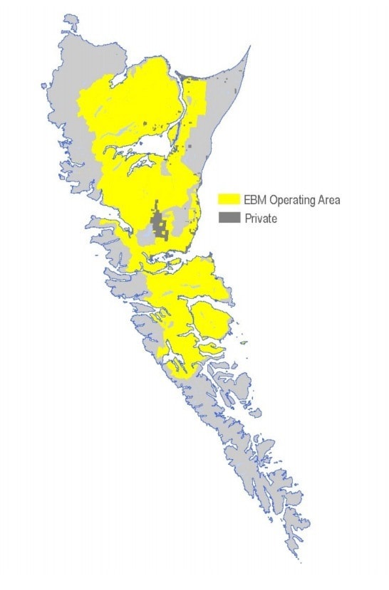
Companies have voluntarily provided such data to the Haida Gwaii Management Council, which oversees the order, but formally requiring maps at that “on-the-ground” scale will make it easier to monitor how well the order is actually followed.
At the same time, the HGMC is also proposing changes to the rules protecting traditional Haida forest features and fish habitat.
Other changes would require detailed maps of protected black bear dens, plus a new reserve zone around a Northern Goshawk nest that was recently found near Feather Creek.
“At this point, we’re out for public comment,” said Warren Mitchell, a retired B.C. civil servant, biologist and forester who is the current chair of the five-member HGMC, which includes representatives from both the Haida Nation and B.C. government.
“While that’s the proposed work that we believe is important, we don’t know yet what exactly will be finalized until we get through the public review period and look at the comments.”
Regarding traditional Haida forest features, the proposed changes would allow forestry companies to remove such features if it is required for road access or other infrastructure and approved by the Haida Nation and B.C. governments at the Solutions Table or another intergovernmental process.
“This provision can only be applied on the rare occasion that there is no other possible route or location for this road or infrastructure,” says an HGMC brochure that explains the proposed change.
Similarly, another change would allow companies to make “increased modification” to the reserve zones around fish habitats if they have intergovernmental approval, and if there is no other possible route for a road or a bridge, or if the modification is required by safety concerns.
In such a case, the HGMC says any risk to fish habitat would have to be assessed by a qualified professional, and a monitoring plan would have to go into action.
Once described by HaiCo CEO Bob Brash as the toughest standard on the B.C. coast, the Haida Gwaii land-use order was agreed by the Haida Nation and B.C. government in 2010.
It protects fish habitat, biodiversity, wildlife, and rare ecosystems as well as cultural values such as archaeological finds and traditional Haida forest features that include monumental cedar, yew, and culturally significant plants.
(Another proposed change would add six rare plants, from Narcissus anemone to Richardson’s geranium, to the five already under Class 1 protections).
In 2014, the Haida Gwaii land-use order got a minor update that added a Northern Goshawk nest reserve near the Delkatla Wildlife Sanctuary and changed some of its legal language.
The current set of changes is the first major update since 2010, and includes a separate proposal that would add the Pitch Creek (K’aas Gandlaay) area near Rennell Sound to the protected Duu Guusd Heritage Site and Conservancy.
All the proposed changes are explained in detail on the HGMC website, and they are available for public comment until April 4.
Asked when the changes might go into effect, Mitchell said the HGMC could change the order fairly quickly, but it all depends on the public review.
“If substantive comments come back and things require a re-think or further work, then of course we’ll do that,” he said.
To see the proposed changes in detail, visit haidagwaiimanagementcouncil.ca.